Devanjana Mukherjee, Khabri Media
Forests play a pivotal role in regulating our planet’s climate, storing carbon, and providing habitat for diverse flora and fauna.

Pic: Social Media
In an era where environmental conservation and climate change mitigation are paramount, our understanding of Earth’s ecosystems has never been more critical. To bolster our efforts, NASA (the National Aeronautics and Space Administration) and ISRO (the Indian Space Research Organization) have joined forces to launch a radar satellite that promises to provide unparalleled insights into the world’s forests and wetlands.
DON’T MISS: Spectacular space museum
The ‘NASA-ISRO Synthetic Aperture Radar’ (NISAR), an earth observation satellite, will help researchers explore how changes in Earth’s forest and wetland ecosystems are affecting the global carbon cycle and influencing climate change. This collaborative venture signifies a significant step forward in harnessing space technology for the betterment of our planet.
NISAR is a joint mission by NASA and ISRO (Indian Space Research Organisation), and when in orbit, its sophisticated radar systems will scan nearly all of Earth’s land and ice surfaces twice every 12 days. The data it collects will help researchers understand two key functions of both ecosystem types: the capture and the release of carbon.
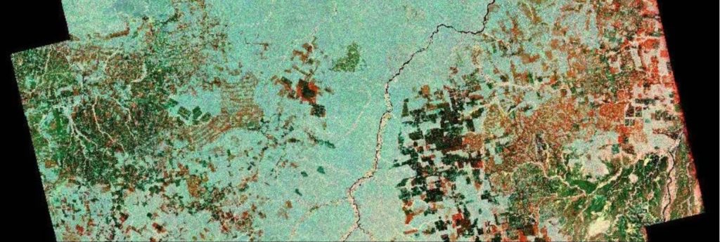
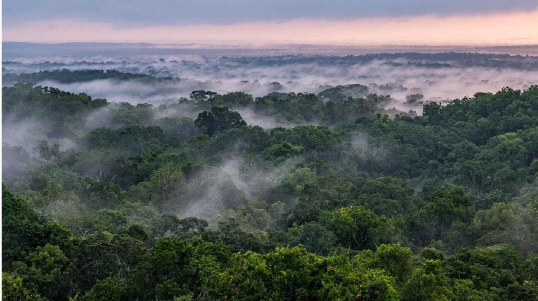
Satellite view of forest (Pic: Social Media)
Forests hold carbon in the wood of their trees; wetlands store it in their layers of organic soil. Disruption of either system, whether gradual or sudden, can accelerate the release of carbon dioxide and methane into the atmosphere.
Synthetic Aperture Radar is a remote sensing technology that employs microwave frequencies to gather detailed information about Earth’s surface, regardless of weather conditions or time of day. Tracking these land-cover changes on a global scale will help researchers study the impacts on the carbon cycle – the processes by which carbon moves between the atmosphere, land, ocean, and living things.
The satellite’s SAR instrument will enable scientists to collect high-resolution data, including forest structure, biomass, and wetland changes. This technology can provide insights into deforestation, forest degradation, and the impact of climate change on these vital ecosystems.
Forestry and other land-use changes account for about 11% of net human-caused greenhouse gas emissions. NISAR’s data will improve our understanding of how the loss of forests around the world influences the carbon cycle and contributes to global warming.
The signal from NISAR’s L-band radar will penetrate the leaves and branches of forest canopies, bouncing off the tree trunks and the ground below. It’s an important set of capabilities for studying vast, often cloud-covered rainforests such as those in the Congo and Amazon basins, which lose millions of wooded acres every year.
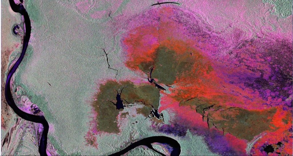
Satellite view of wetland (Pic: Social Media)
Moreover, the radar satellite’s ability to penetrate cloud cover and monitor wetlands in detail is a game-changer. It can detect changes in water levels, wetland extent, and vegetation cover. Wetlands, often described as Earth’s “kidneys,” are critical for water purification, flood control, and the preservation of ecosystem.
The successful launch and operation of a radar satellite mission come with their own set of challenges. Ensuring the accuracy and consistency of the data collected is paramount. Scientists must also develop advanced algorithms and models to process and interpret the vast amounts of information generated by the satellite.
The NASA-ISRO radar satellite mission represents a beacon of hope in our quest to better understand and protect Earth’s precious ecosystems. The collaboration is a testament to the power of international cooperation in the name of science and the environment thus to mitigate climate change and protect biodiversity.
Set to launch in early 2024 from Southern India, it will collect information on the motion of the land, helping researchers understand the dynamics of earthquakes, volcanic eruptions, landslides, and subsidence and uplift (when the surface sinks and rises). It will also track the movements and melting of both glaciers and sea ice.